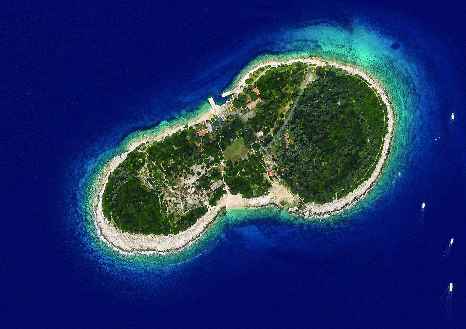
Sv. Jerolim Island
Brijuni National Park – tap a point on the map to learn more.
Welcome to Sv. Jerolim!
Tap a point or a coloured path on the map.
Strong currents! Take care when swimming and snorkeling on the north-east side of the island.
Map legend
Photos of Sv. Jerolim
Photos coming soon
Photos coming soon
Photos coming soon
Photos coming soon
Photos coming soon
Photos coming soon
Island facts
12,62 haisland area
1,51 kmcoastline
18 mhighest point